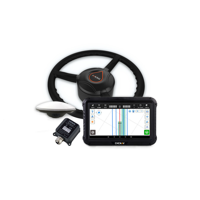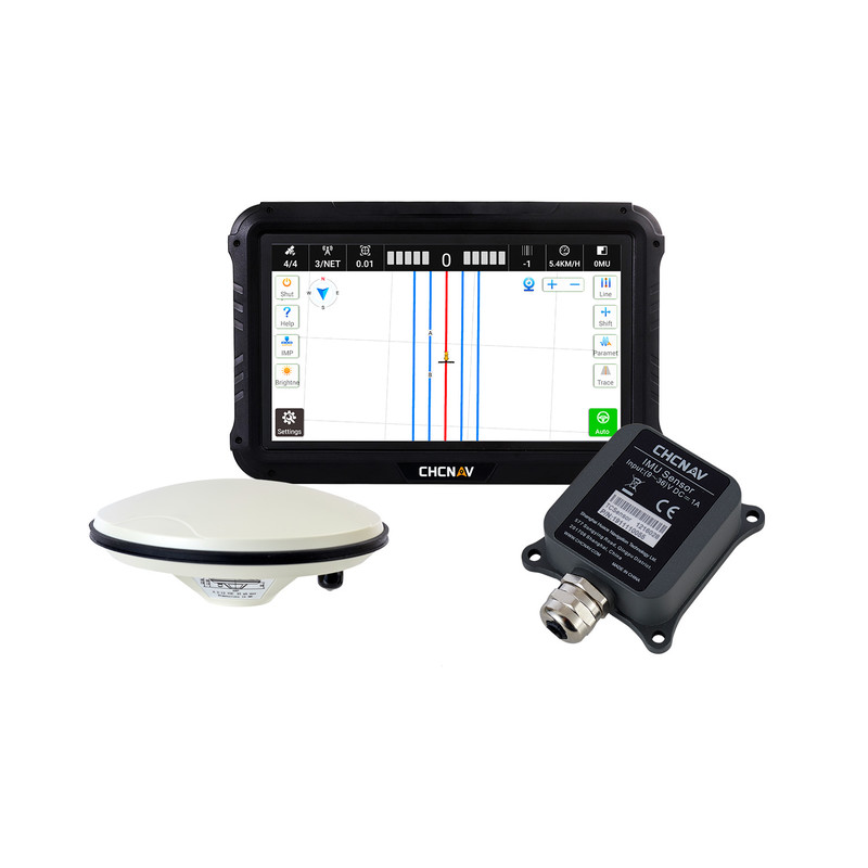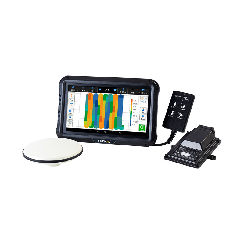
IC100 LAND LEVELING SYSTEM
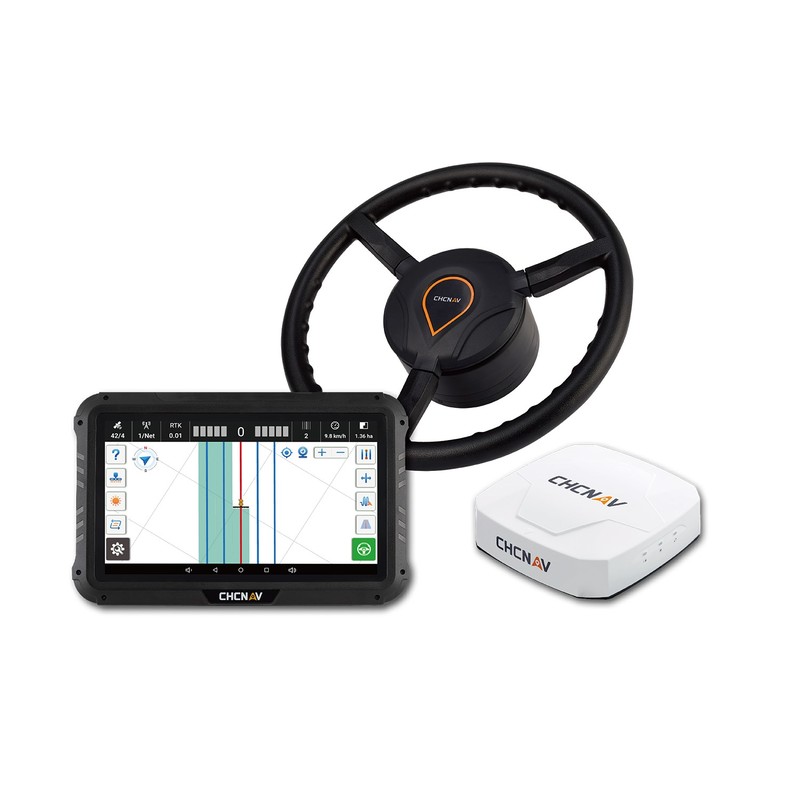
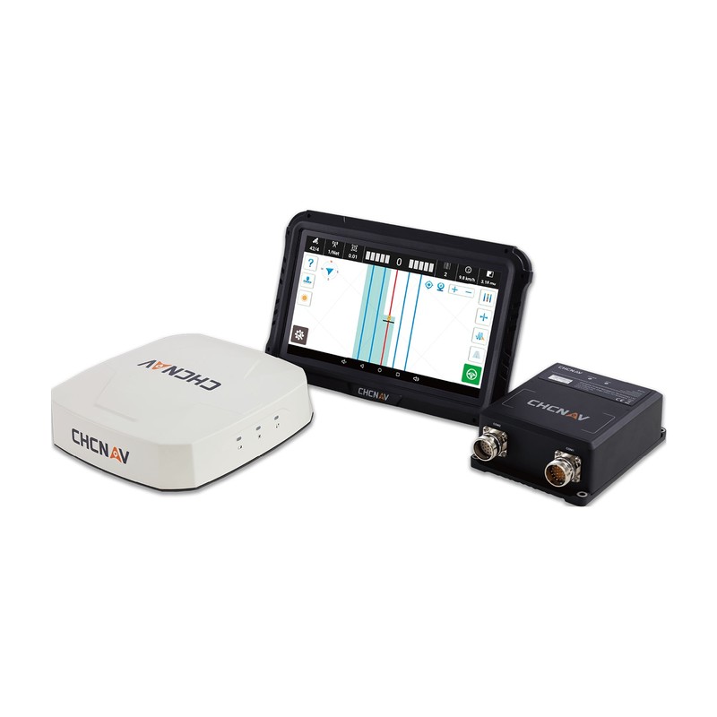
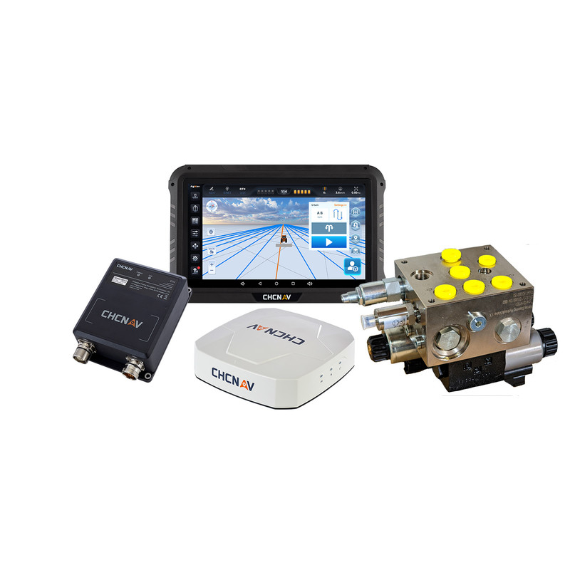
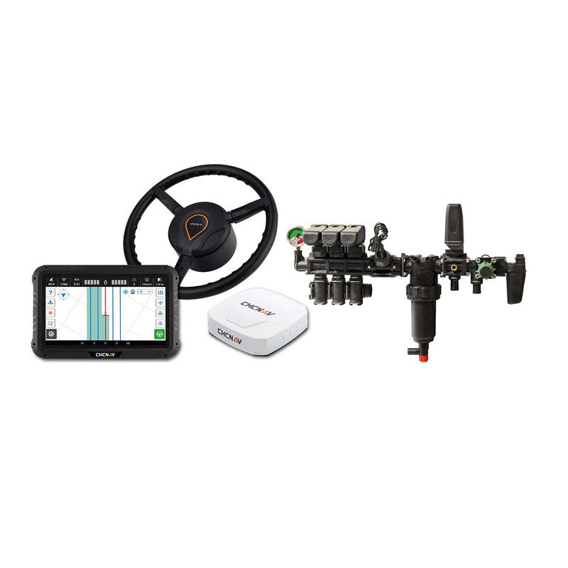
The IC100 GNSS Land Leveling is an advanced farm implement control system leveraging the precision of satellite positioning technology to automate the leveling of agricultural fields. Through the optimal integration of GNSS RTK technology and electro-hydraulic controls, it measures level changes in real time and automatically adjusts the position of blades and scrapers. The IC100 supports both two-way-valve and multi-way-valve scrapers for greater versatility. Its GNSS RTK positioning module includes GPS, GLONASS, BDS and Galileo, for exceptional accuracy and reliability. The IC100 establishes reference levels based on current elevation or on data previously collected while driving in the field and adapts to both single and dual slope configurations for a variety of land leveling applications.
Designed to simplify the levelling of fallow land, dryland and rice paddies, the IC100 enables farmers to significantly increase irrigation efficiency. By streamlining the land leveling process and optimizing blade and scraper adjustments, the IC100 adds significant value to farming operations, promoting greater efficiency and yield.